Does your student have a world atlas at home to reference? Is your classroom or school library stocked with several?
Do we even need a world atlas in this age of Google maps and Wikipedia? YES.
There’s nothing quite like poring over a good world atlas for curious minds. And nothing quite like a handy print reference when juggling homework assignments at the kitchen table.
Why?
A world atlas gives far more than geolocation or random facts. Charts, graphs, MAPS all contribute to a visual display of information that is connected to the other information in the atlas. Atlases often include information that people forget to wonder about, but suddenly seeing charts for population, refugees, economic productivity can help readers form a more complete picture of the interplay behind statistics. Seeing visually that the temperate zones in terms of temperature also have corresponding levels of vegetation is just plain interesting, not to mention seeing how the oceans connect and flow together. God made a fascinating world in this Earth of ours; you should get to know it better!
Recommended World Atlases
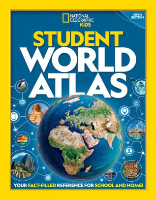
Student World Atlas, 5th Edition. National Geographic Kids, 2019.

An up-to-date altas is essential for statistics, not so necessary for basic maps. This atlas’s lightweight paperback cover and trim size (slightly bigger than a standard piece of paper) makes this one a perfect choice for those stuffing an atlas into their backpacks. The opening sections of the book cover the globe, both physical and human systems. Then, each continent is examined in turn. Maps are easy to read; sidebars, charts, and graphs contribute solid information.

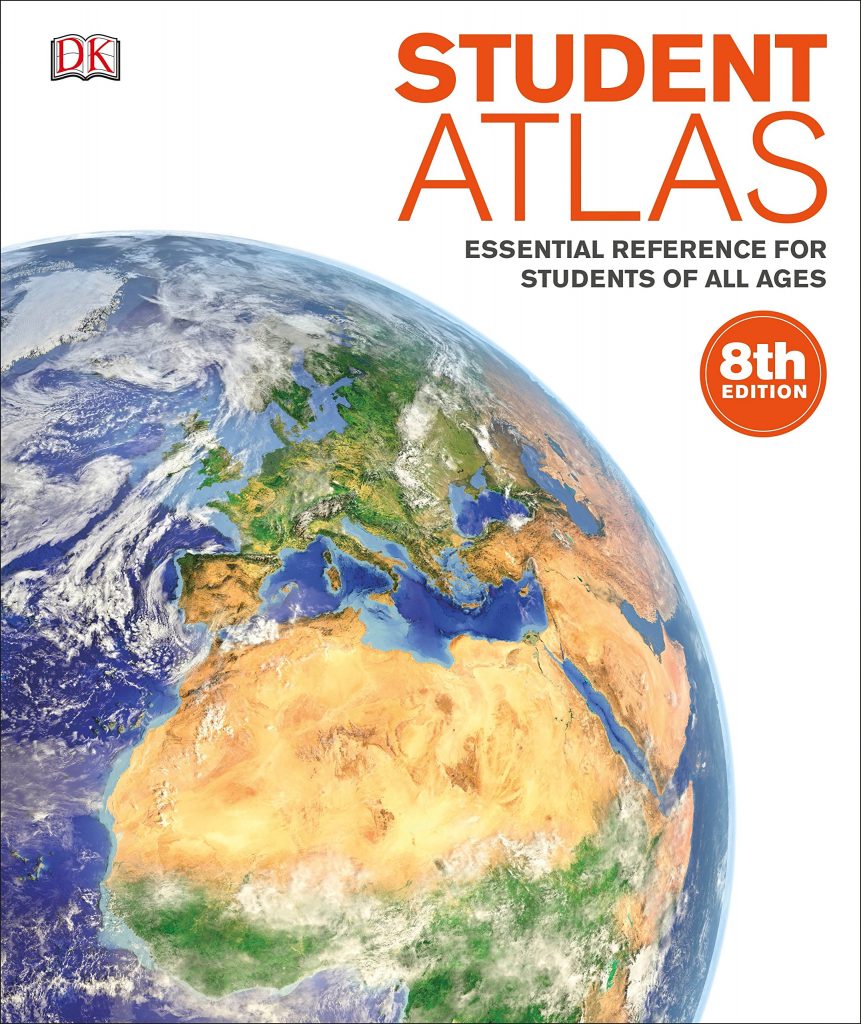
Student Atlas: Essential Reference for Students of All Ages. DK Publishing, 2015.
This large format, 10-12 inch, hardback atlas is a great classroom or home reference (it won’t fit as well in a student backpack). Plenty of white space keeps this book from being too cluttered, but it is full of maps and information. A short section at the beginning covers the globe, but the majority of the book dives into the different continents (and sub-continents/countries). This is particularly helpful for the United States portion.
Related Reading: More Atlas Fun!
Support our writers and help keep Redeemed Reader ad-free by joining the Redeemed Reader Fellowship.
Stay Up to Date!
Get the information you need to make wise choices about books for your children and teens.
Our weekly newsletter includes our latest reviews, related links from around the web, a featured book list, book trivia, and more. We never sell your information. You may unsubscribe at any time.
We'd love to hear from you!
Our comments are now limited to our members (both Silver and Golden Key). Members, you just need to log in with your normal log-in credentials!
Not a member yet? You can join the Silver Key ($2.99/month) for a free 2-week trial. Cancel at any time. Find out more about membership here.
2 Comments
Leave a Comment
You must be logged in to post a comment.


I am going to order the student atlas for our branches. It’s hard to find current atlases these days.
Lou,
That’s sad (that they’re so hard to find), but we’re delighted we could help!